Ficheru:Alcatraz11.JPEG

Ficheru orixinal (1024 × 768 píxels, tamañu de ficheru: 296 kB, triba MIME: image/jpeg)
| L'autor d'esta obra, Jon Sullivan (PD Photo.org), la lliberó como dominiu públicu. Esto s'aplica nel mundu ensembre. En dellos países seique esto nun seya posible llegalmente; nesti casu: Jon Sullivan (PD Photo.org) da a cualesquier persona permisu pa usar esta obra pa cualesquier propósitu, ensin denguna condición, menos si eses condiciones requierense pola llei.
|
| Details | ||
|---|---|---|
|
|
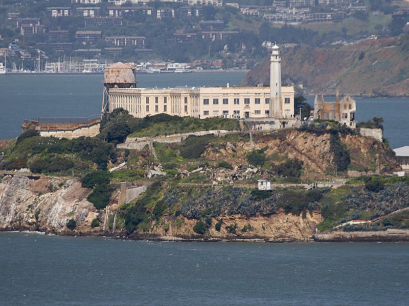
Esto es una imagen de un lugar o edificio incluido en el Registro Nacional de Lugares Históricos de los Estados Unidos. Su número de referencia es 76000209. |
Downloaded from : http://pdphoto.org/PictureDetail.php?mat=pdef&pg=8367 archive copy at the Wayback Machine
Credits : PD Photo.org
This image is public domain. You may use this image for any purpose, including commercial.
| Ubicación del objeto | | Ubicación de esta y otras imágenes en: OpenStreetMap |
|---|
Historial del ficheru
Calca nuna fecha/hora pa ver el ficheru como taba daquella.
| Data/Hora | Miniatura | Dimensiones | Usuariu | Comentariu | |
|---|---|---|---|---|---|
| actual | 14:49 10 xnt 2005 | | 1024 × 768 (296 kB) | JoJan | {{PD}} |
Usu del ficheru
La páxina siguiente usa esti ficheru:
Usu global del ficheru
Estes otres wikis usen esti ficheru:
- Usu en an.wikipedia.org
- Usu en ay.wikipedia.org
- Usu en bg.wikipedia.org
- Usu en bn.wikipedia.org
- Usu en ca.wikipedia.org
- Usu en de.wikipedia.org
- Usu en el.wikipedia.org
- Usu en en.wikipedia.org
- Usu en en.wikibooks.org
- Usu en es.wikipedia.org
- Usu en es.wikiquote.org
- Usu en fr.wikivoyage.org
- Usu en gan.wikipedia.org
- Usu en he.wikipedia.org
- Usu en hu.wikipedia.org
- Usu en is.wikipedia.org
- Usu en it.wikipedia.org
- Al Capone
- Alcatraz
- James B. McPherson
- Arthur Barker
- Joseph Bowers
- Henri Young
- Rufus McCain
- Robert Stroud
- James A. Johnston
- Ralph Roe
- Theodore Cole
- John Giles
- Bernard Coy
- Sam Shockley
- Battaglia di Alcatraz
- Victor Lustig
- James Bulger
- Prigione di Alcatraz
- Bumpy Johnson
- Template:Isola di Alcatraz
- Fort Alcatraz
- General McPherson (nave)
- Tentativo di fuga da Alcatraz del giugno del 1962
Ver más usos globales d'esti ficheru.