Ficheru:Turks and Caicos Islands location map.svg

Tamañu de la vista previa PNG d'esti ficheru SVG: 800 × 516 pixels. Otres resoluciones: 320 × 206 pixels | 640 × 413 pixels | 1024 × 660 pixels | 1280 × 825 pixels | 2560 × 1651 pixels | 1126 × 726 pixels.
Ficheru orixinal (ficheru SVG, 1126 × 726 píxels nominales, tamañu de ficheru: 271 kB)
| Descripción |
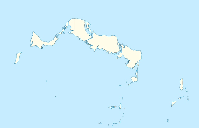
Deutsch: Positionskarte der Turks- und Caicosinseln
Quadratische Plattkarte, N-S-Streckung. Geographische Begrenzung der Karte:
English: Location map of the Turks and Caicos Islands
Equirectangular projection, N/S stretching. Geographic limits of the map:
|
| Data | |
| Fonte | own work, using the General Mapping Tools |
| Autor | Carport |
| Permisu (Cómo reutilizar esti ficheru) |
Esti ficheru ta disponible baxo la llicencia Creative Commons Reconocimientu-Compartir igual 3.0 xenérica.
|

|
Este mapa se ha hecho o mejorado en el Kartenwerkstatt (taller cartográfico) alemán. También puede proponer mapas para mejorar.
|
Historial del ficheru
Calca nuna fecha/hora pa ver el ficheru como taba daquella.
| Data/Hora | Miniatura | Dimensiones | Usuariu | Comentariu | |
|---|---|---|---|---|---|
| actual | 09:38 9 abr 2010 | | 1126 × 726 (271 kB) | Carport | borders corrected |
| 09:30 9 abr 2010 |  | 1126 × 726 (271 kB) | Carport | {{Information |Description= {{de|Positionskarte der {{w|Turks- und Caicosinseln|3=de}} }} Quadratische Plattkarte, N-S-Streckung. Geographische Begrenzung der Karte: * N: 22.10° N * S: 21.14° N * W: 72.60° W * O: 71.00° W {{en|Location map of the {{w| |
Usu del ficheru
Les páxines siguientes usen esti ficheru:
Usu global del ficheru
Estes otres wikis usen esti ficheru:
- Usu en af.wikipedia.org
- Usu en an.wikipedia.org
- Usu en ar.wikipedia.org
- Usu en ba.wikipedia.org
- Usu en be-tarask.wikipedia.org
- Usu en be.wikipedia.org
- Usu en bg.wikipedia.org
- Usu en ceb.wikipedia.org
- Plantilya:Location map United Kingdom Turks and Caicos Islands
- Long Bay
- Bird Island
- High Rock
- Grassy Creek
- South Rock
- South Bluff
- Blue Hills
- White Cay
- Water Cay
- Southwest Point
- Salt Cay
- Caye de Sel
- Pine Cay
- Hog Cay
- Pelican Cay
- Pear Cay
- Mangrove Cay
- Long Cay
- Iguana Cay
- French Cay
- Fish Cays
- Cotton Cay
- Conch Cay
- Cockburn Town
- Chalk Sound
- Breezy Point
- The Bight
- Ambergris Cays
- Toney Rock
- East Cay
- Seal Cays
- Little Water Cay
- Sand Cay
- East Bay
- West Reef
- Monkey Hill
- Lorimer Creek
Ver más usos globales d'esti ficheru.