Ficheru:Africa map political.svg

Tamañu de la vista previa PNG d'esti ficheru SVG: 635 × 600 pixels. Otres resoluciones: 254 × 240 pixels | 508 × 480 pixels | 813 × 768 pixels | 1084 × 1024 pixels | 2169 × 2048 pixels | 1525 × 1440 pixels.
Ficheru orixinal (ficheru SVG, 1525 × 1440 píxels nominales, tamañu de ficheru: 700 kB)
Resume
| Descripción |
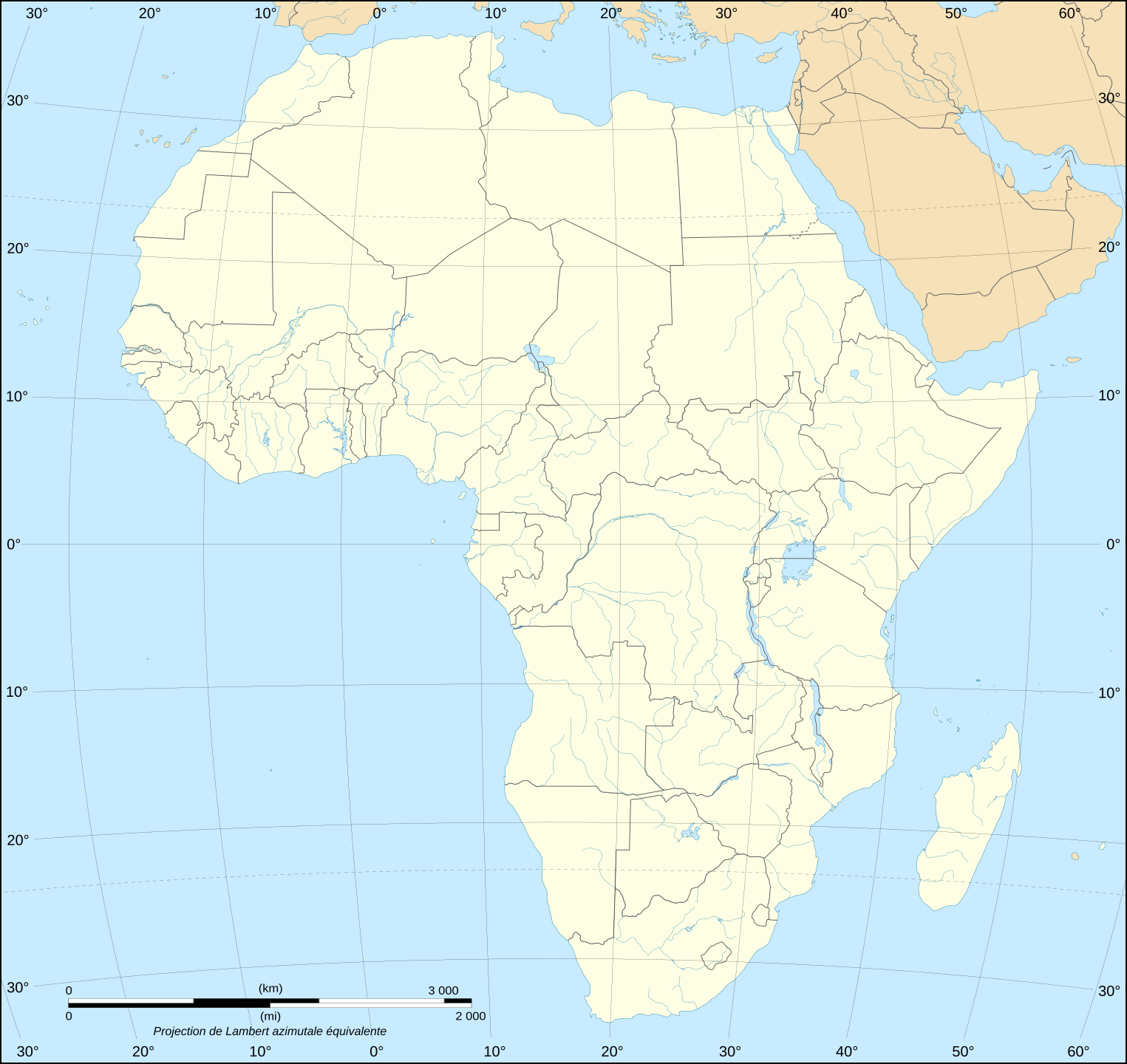
English: Blank political map of Africa as in 2011-07.
Français : Carte politique vierge de l'Afrique telle qu'en 07/2011.
Lambert azimutal equal-area projection, WGS84 datum, standard meridian: 15°E, standard parallel: 0° |
||
| Data | June 2008 (new version), updated 2011-07 | ||
| Fonte |
Own work
|
||
| Autor | Eric Gaba (Sting - fr:Sting) | ||
| Permisu (Cómo reutilizar esti ficheru) |
|
||
| Otres versiones |
Derivative works of this file:
|


Llicencia
Yo, el titular de los drechos d'autor d'esta obra, la espublizo baxo les siguientes llicencies:

|
Autorízase la copia, distribución y/o cambéu d'esti documentu baxo los términos de la Llicencia de documentación llibre GNU, versión 1.2 o cualesquier otra que nel futuru espublice la Free Software Foundation; ensin seiciones invariables, testos de portada, nin testos de contraportada. S'inclúi una copia de la llicencia na seición titulada GNU Free Documentation License. |
| Esti ficheru ta disponible baxo la llicencia Creative Commons Reconocimientu-Compartir igual 3.0 xenérica. | ||
| ||
| Esta etiqueta de llicencia s'amestó a esti ficheru como parte del anovamientu de la llicencia GFDL. |
Este archivo se encuentra bajo la licencia Creative Commons de Atribución/Compartir-Igual 2.5 Genérica, 2.0 Genérica y 1.0 Genérica.
- Ye llibre:
- pa compartir – pa copiar, distribuir y comunicar públicamente la obra
- pa remezclar – p'adautar la obra
- Baxo les condiciones siguientes:
- reconocimientu – Tienes de dar el créitu apropiáu, apurrir un enllaz a la llicencia ya indicar si realizasti dalgún cambéu. Puedes faelo de cualquier mou razonable ,pero non de manera que suxera l'encontu del autor pa ti o pal usu que faigas.
- compartir igual – Si entemeces, tresformes o te bases nesti material, tienes de distribuir les tos contribuciones baxo la mesma llicencia o una compatible cola orixinal.
Pues seleicionar la llicencia que prefieras.
Historial del ficheru
Calca nuna fecha/hora pa ver el ficheru como taba daquella.
| Data/Hora | Miniatura | Dimensiones | Usuariu | Comentariu | |
|---|---|---|---|---|---|
| actual | 20:42 14 xnt 2011 | | 1525 × 1440 (700 kB) | Sting | Sudan/South Sudan 2011-07 border update |
| 20:41 10 xin 2009 |  | 1525 × 1440 (695 kB) | Sting | Detail correction | |
| 23:15 27 xun 2008 |  | 1525 × 1440 (696 kB) | Sting | Completely new drawing with known projection ; new colors | |
| 20:58 21 set 2006 |  | 1390 × 1295 (558 kB) | Sting | Colours | |
| 21:17 31 may 2006 |  | 1390 × 1295 (558 kB) | Sting | {{Information |Description=Blank political vector graphic map of Africa |Source=Several bitmap-type maps |Date= May 2006 |Author= Eric Gaba (Sting) |Permission=GFDL or CC-BY-SA |other_versions=[[:Image:Africa_ma |
Usu del ficheru
Nun hai páxines qu'usen esti ficheru.
Usu global del ficheru
Estes otres wikis usen esti ficheru:
- Usu en fr.wikipedia.org
- Usu en no.wikipedia.org