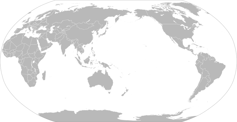
Ficheru:BlankMap-World-162E.svg

Tamañu de la vista previa PNG d'esti ficheru SVG: 800 × 413 pixels. Otres resoluciones: 320 × 165 pixels | 640 × 330 pixels | 1024 × 529 pixels | 1280 × 661 pixels | 2560 × 1321 pixels | 3100 × 1600 pixels.
Ficheru orixinal (ficheru SVG, 3100 × 1600 píxels nominales, tamañu de ficheru: 1,35 MB)
Historial del ficheru
Calca nuna fecha/hora pa ver el ficheru como taba daquella.
| Data/Hora | Miniatura | Dimensiones | Usuariu | Comentariu | |
|---|---|---|---|---|---|
| actual | 20:15 6 set 2021 |  | 3100 × 1600 (1,35 MB) | Milenioscuro | thin border |
| 20:04 6 set 2021 |  | 3100 × 1600 (1,35 MB) | Milenioscuro | fixed and cropped | |
| 12:48 17 xnt 2020 |  | 940 × 477 (2,9 MB) | Hogweard | Update format, and make South Sudan selectable | |
| 13:04 25 feb 2012 |  | 940 × 477 (3,53 MB) | Sammy pompon | Added South Sudan | |
| 13:01 25 feb 2012 |  | 940 × 477 (3,53 MB) | Sammy pompon | Added South Sudan | |
| 22:24 13 abr 2008 |  | 940 × 477 (3,45 MB) | Lokal Profil | {{Information |Description=A blank map of the world centered at the 162E longitude line. Detailed SVG map with grouping enabled to connect all non-contiguous parts of a country's territory for easy colouring. Smaller countries can also be represented b |
Usu del ficheru
Nun hai páxines qu'usen esti ficheru.
Usu global del ficheru
Estes otres wikis usen esti ficheru:
- Usu en bn.wikipedia.org
- Usu en cs.wikipedia.org
- Usu en de.wikipedia.org
- Usu en de.wikibooks.org
- Usu en en.wikipedia.org
- Usu en en.wikibooks.org
- Usu en es.wikipedia.org
- Usu en et.wikipedia.org
- Usu en eu.wikipedia.org
- Usu en fr.wikipedia.org
- Usu en fr.wikiversity.org
- Usu en ha.wikipedia.org
- Usu en he.wikipedia.org
- Usu en hy.wikipedia.org
- Usu en ja.wikipedia.org
- Usu en ko.wikipedia.org
- Usu en lo.wikipedia.org
- Usu en pnb.wikipedia.org
- Usu en ru.wikipedia.org
- Usu en th.wikipedia.org
Ver más usos globales d'esti ficheru.

