Ficheru:Denmark adm location map.svg

Ficheru orixinal (ficheru SVG, 1836 × 1478 píxels nominales, tamañu de ficheru: 479 kB)
Resume
| Descripción |
Deutsch: Positionskarte von Dänemark
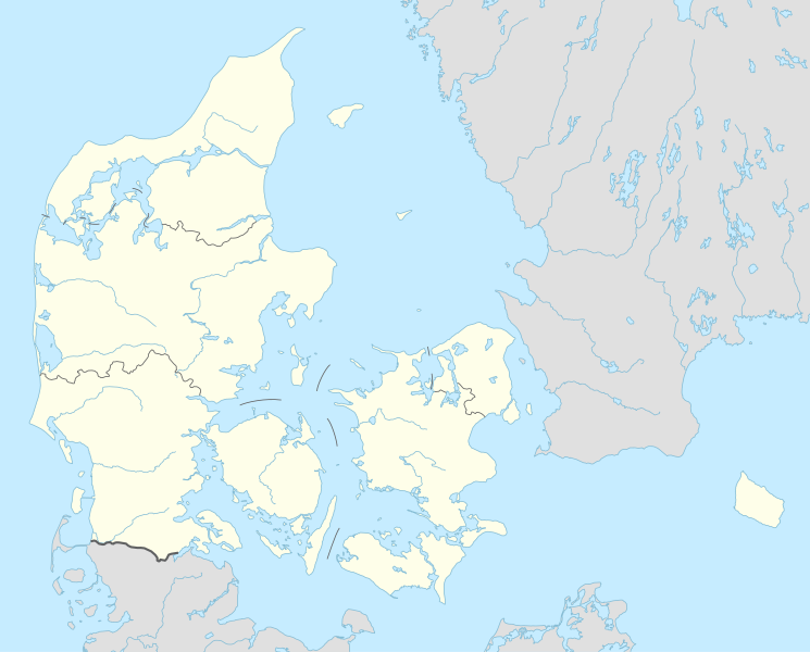
English: Location map of Denmark
|
||||||||||||
| Data | |||||||||||||
| Fonte |
Trabajo propio utilizando:
|
||||||||||||
| Autor | NordNordWest | ||||||||||||
| SVG desarrollo | El código fuente de esta imagen SVG es válido. Este mapa fue creado con Adobe Illustrator
|
||||||||||||

Llicencia
Usage of this file with:

explanatory notes: Legally binding is only the full legalcode. For a free usage I recommend to respect the following licence conditions:
1. Provide my name as given above: NordNordWest,
2. a copy of, or the URI for, the applicable license: https://creativecommons.org/licenses/by-sa/3.0/de/legalcode,
3. the title of the work,
4. in the case of an adaptation, a credit identifying the use of the work in the adaptation.
This license and the rights granted hereunder will terminate automatically upon any breach by you of the terms of this license. Any of the above conditions can be waived if you get permission from the copyright holder. If you have questions or wish differing conditions, please contact me through nnwest or my discussion page ![]() t-online.de
t-online.de
- Ye llibre:
- pa compartir – pa copiar, distribuir y comunicar públicamente la obra
- pa remezclar – p'adautar la obra
- Baxo les condiciones siguientes:
- reconocimientu – Tienes de dar el créitu apropiáu, apurrir un enllaz a la llicencia ya indicar si realizasti dalgún cambéu. Puedes faelo de cualquier mou razonable ,pero non de manera que suxera l'encontu del autor pa ti o pal usu que faigas.
- compartir igual – Si entemeces, tresformes o te bases nesti material, tienes de distribuir les tos contribuciones baxo la mesma llicencia o una compatible cola orixinal.

Historial del ficheru
Calca nuna fecha/hora pa ver el ficheru como taba daquella.
| Data/Hora | Miniatura | Dimensiones | Usuariu | Comentariu | |
|---|---|---|---|---|---|
| actual | 18:42 31 mar 2015 | | 1836 × 1478 (479 kB) | NordNordWest | == {{int:filedesc}} == {{Information |Description= {{de|1=Positionskarte von Dänemark}} {{en|1=Location map of Denmark}} {{Location map series N |stretching=170 |top=57.9 |bottom=54.3 |left=7.8 |right=15.4 }} |Source={{Own using}} * United States Nati... |
Usu del ficheru
Más de 100 páxines usen esti ficheru. La llista siguiente amuesa les 100 primeres páxines qu'usen esti ficheru namái. Hai disponible una llista completa.
- A.P. Møller-Mærsk
- Aabenraa
- Aalborg
- Aarhus
- Aeropuertu de Billund
- Aeropuertu de Bornholm
- Aeropuertu de Copenḥague-Kastrup
- Aeropuertu de Copenḥague-Roskilde
- Albertslund
- Ballerup
- Billund
- Brøndby
- Brønderslev
- Catedral de Roskilde
- Copenḥague
- Dragør
- Egedal
- Enllaz fixu de Fehmarn
- Esbjerg
- Escandinavia
- Estrechu d'Øresund
- Faaborg-Midtfyn
- Fanø
- Favrskov
- Faxe
- Fiordu de Roskilde
- Fredensborg
- Fredericia
- Frederiksberg
- Frederikshavn
- Frederikssund
- Gentofte
- Glostrup
- Haderslev
- Hedensted
- Herning
- Hillerød
- Hjørring
- Holbæk
- Holstebro
- Horsens
- Høje-Taastrup
- Hørsholm
- Ikast-Brande
- Ishøj
- Islles Frisias septentrionales
- Jammerbugt
- Kalundborg
- Kerteminde
- Kolding
- Køgue
- Langeland
- Lejre
- Lemvig
- Læsø
- Middelfart
- Muséu Louisiana d'arte moderno
- Norddjurs
- Nyborg
- Næstved
- Odense
- Odsherred
- Palaciu Mariellu
- Palaciu d'Amalienborg
- Palaciu de Christiansborg
- Parken Stadion
- Ponte del Gran Belt
- Radisson SAS Royal Hotel
- Randers
- Ringkøbing-Skjern
- Ringsted
- Roskilde
- Rubjerg Knude Fyr
- Rudersdal
- Rødovre
- Samsø
- Selandia
- Silkeborg
- Skanderborg
- Skive
- Slagelse
- Sorø
- Struer
- Superliga de Dinamarca
- Svendborg
- Syddjurs
- Sønderborg
- Thisted
- Tårnby
- Tønder
- Universidá de Copenḥague
- Varde
- Vejen
- Vejle
- Vendsyssel-Thy
- Vesthimmerland
- Viborg
- Vordingborg
- Xutlandia
- Ærø
Ver más enllaces a esti ficheru.
Usu global del ficheru
Estes otres wikis usen esti ficheru:
- Usu en af.wikipedia.org
- Tise
- Tødsø
- Tolne
- Tornby
- Tranum
- Tversted
- Tylstrup
- Uggerby
- Uggerhalne
- Ullits
- Ulsted
- Vadum
- Valsgård
- Valsted
- Vårst
- Thisted
- Thorshøj
- Guldbæk
- Gudumholm
- Gøttrup
- Godthåb (Aalborg)
- Gjøl
- Gistrup
- Gedsted
- Gandrup
- Gærum
- Tårs (Hjørring)
- Terndrup
- Vrå
- Vodskov
- Ydby
- Vodstrup
- Voerså
- Vognsild
- Vrensted
- Visse (Denemarke)
- Visborg
- Vindblæs
- Vilsund Vest
- Vilsted
- Vils
- Vidstrup
- Vestervig
- Vesterø Havn
- Vester Torup
- Vester Hornum
- Vester Hjermitslev
- Vester Hassing
- Vestbjerg
- Vesløs
Ver más usos globales d'esti ficheru.