Ficheru:Germany (+districts +municipalities) location map 2013.svg

Tamañu de la vista previa PNG d'esti ficheru SVG: 509 × 599 pixels. Otres resoluciones: 204 × 240 pixels | 408 × 480 pixels | 652 × 768 pixels | 869 × 1024 pixels | 1739 × 2048 pixels | 1779 × 2095 pixels.
Ficheru orixinal (ficheru SVG, 1779 × 2095 píxels nominales, tamañu de ficheru: 25,26 MB)
Resume
| Descripción |
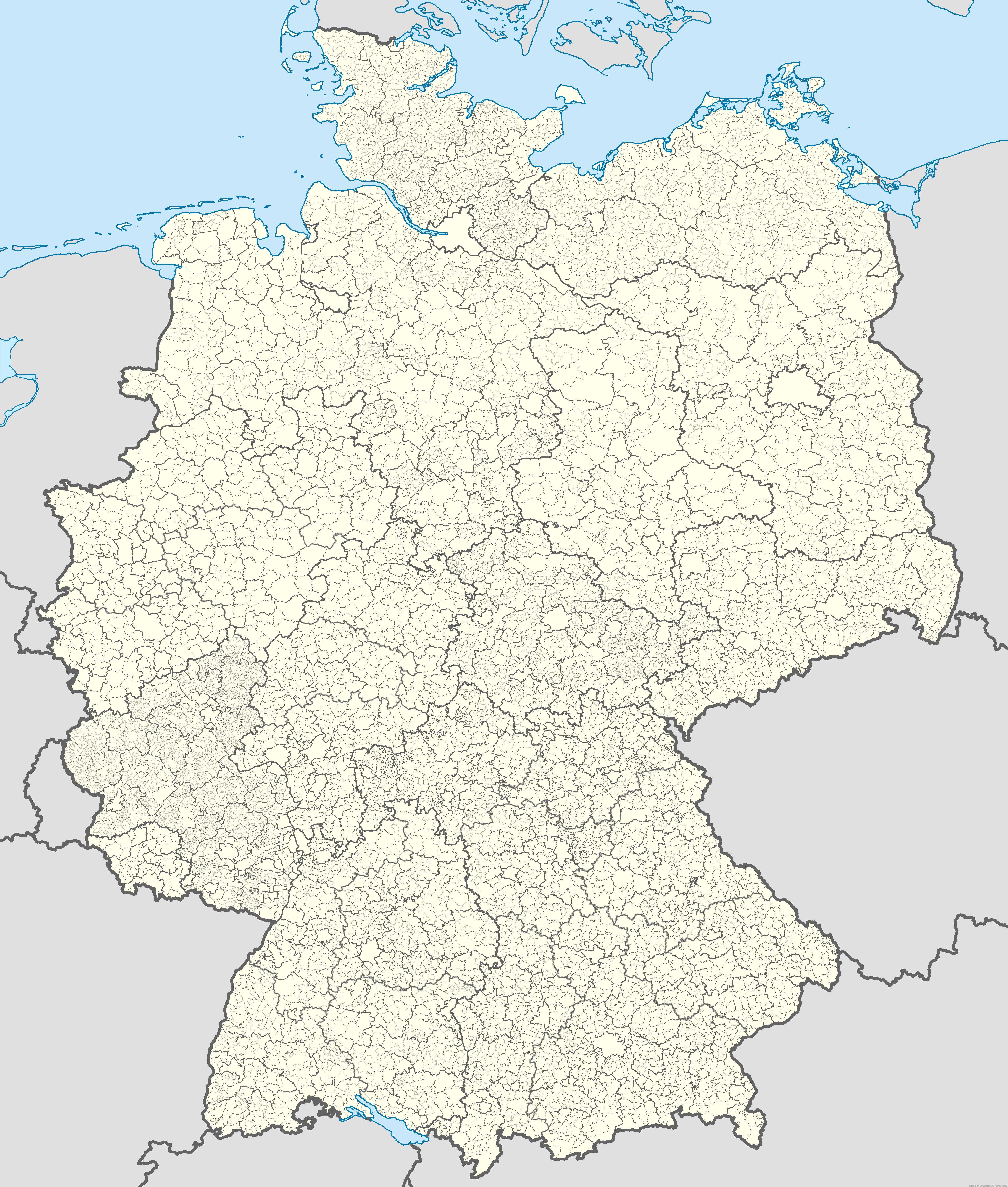
Deutsch: Positionskarte von Deutschland mit Grenzen der Regierungsbezirke, Landkreise, kreisfreien Städte, Kommunen und Kommunalverbände. Stand 1.1.2013.
Quadratische Plattkarte, N-S-Streckung 150 %. Geographische Begrenzung der Karte:
English: Location map of Germany with states, districts, municipalities as of Jan 1st, 2013.
Equirectangular projection, N/S stretching 150 %. Geographic limits of the map:
|
| Data | |
| Fonte |
Trabayu propiu Deutsch: Daten für Gebiete außerhalb Deutschlands: English: All data for outside Germany: Esta imagen vectorial incluye elementos que han sido tomados o adaptados de esta: Deutsch: Alle Daten innerhalb deutschen Staatsgebiets inkl. der deutschen Staatsgrenzen: English: All data for inside Germany incl. german national borders: *Bundesamt für Kartographie und Geodäsie (BKG): Verwaltungsgebiete 1:250.000 - Stand 01.01.2013. In: Dienstleistungszentrum. Download link (ZIP, UTM32, Ebenen, ArcInfo-SHAPE), see also (file description). Note: Projection was set to World Equidistant Cylindrical (EPSG:54002 - +proj=eqc +lat_ts=60 +lat_0=0 +lon_0=0 +x_0=0 +y_0=0 +datum=WGS84 +units=m +no_defs) with QGIS 2.0 Dufour and later stretched 134% horizontally with Adobe Illustrator. |
| Autor |
TUBS |
| Permisu (Cómo reutilizar esti ficheru) |
Deutsch: Wichtiger Hinweise bzgl. „© GeoBasis-DE / BKG 2013-Daten“ gem. Verordnung zur Festlegung der Nutzungsbestimmungen für die Bereitstellung von Geodaten des Bundes vom 19. März 2013 (BGBl. I S. 547) (GEoNutzV). Die Rechstfolgen der GeoNutzV sind unklar, besonders bzgl. abgeleiteter Dateien, inbes. bei Einarbeitung anders lizenzierter Daten. Es dürfte daher ratsam sein, die BKG-Quellenangaben immer auch in allen abgeleiteten Werken anzugeben. English: Important note for all data attributed © GeoBasis-DE / BKG 2013 according Verordnung zur Festlegung der Nutzungsbestimmungen für die Bereitstellung von Geodaten des Bundes vom 19. März 2013 (BGBl. I S. 547) (GEoNutzV). It's not clear what this act implies in terms of which licenses are applicable for derived works especially those where differently licensed data is incorporated. It may be best to keep the attribution to BKG-data in every file derived. |
| Otres versiones |
|
| SVG desarrollo | El código fuente de esta imagen SVG de gran tamaño es válido. Este gráfico vectorial de gran tamaño fue creado con Adobe Illustrator y con QGIS. |

_location_map.svg)
_location_map_2013.svg)
_location_map.png)
_location_map_2013.svg)
Llicencia
Original data for all borders within Germany: © GeoBasis-DE / BKG 2013 according Verordnung zur Festlegung der Nutzungsbestimmungen für die Bereitstellung von Geodaten des Bundes vom 19. März 2013 (BGBl. I S. 547) (GEoNutzV)
Yo, el titular de los drechos d'autor d'esta obra, la espublizo baxo les siguientes llicencies:
Esti ficheru ta disponible baxo la llicencia Creative Commons Reconocimientu-Compartir igual 3.0 xenérica.
- Ye llibre:
- pa compartir – pa copiar, distribuir y comunicar públicamente la obra
- pa remezclar – p'adautar la obra
- Baxo les condiciones siguientes:
- reconocimientu – Tienes de dar el créitu apropiáu, apurrir un enllaz a la llicencia ya indicar si realizasti dalgún cambéu. Puedes faelo de cualquier mou razonable ,pero non de manera que suxera l'encontu del autor pa ti o pal usu que faigas.
- compartir igual – Si entemeces, tresformes o te bases nesti material, tienes de distribuir les tos contribuciones baxo la mesma llicencia o una compatible cola orixinal.

|
Autorízase la copia, distribución y/o cambéu d'esti documentu baxo los términos de la Llicencia de documentación llibre GNU, versión 1.2 o cualesquier otra que nel futuru espublice la Free Software Foundation; ensin seiciones invariables, testos de portada, nin testos de contraportada. S'inclúi una copia de la llicencia na seición titulada GNU Free Documentation License. |
Pues seleicionar la llicencia que prefieras.

|
Le agradecería que usted atribuyera este trabajo a Wikimedia Commons, si se utilizase fuera de Wikipedia o Commons. Para su uso en publicaciones (tales como libros, periódicos, blogs, sitios web, etc.) por favor, infórmeme aquí:
|
_location_map_2013.svg)
Historial del ficheru
Calca nuna fecha/hora pa ver el ficheru como taba daquella.
| Data/Hora | Miniatura | Dimensiones | Usuariu | Comentariu | |
|---|---|---|---|---|---|
| actual | 06:38 24 ago 2019 | | 1779 × 2095 (25,26 MB) | TUBS | Reverted to version as of 19:29, 11 October 2018 (UTC) Stand 1.1.2013.!!! |
| 19:29 11 och 2018 |  | 1779 × 2095 (25,26 MB) | JoKalliauer | reverted to old version with id-names | |
| 22:37 7 may 2018 |  | 1779 × 2095 (37,28 MB) | JoKalliauer | reduced file size | |
| 11:38 20 pay 2013 |  | 1779 × 2095 (72,75 MB) | TUBS | == {{int:filedesc}} == {{Information |Description= {{de|Positionskarte von Deutschland mit Grenzen der Regierungsbezirke, Landkreise, kreisfreien Städte, Kommmunen und Kommunalverbände. Stand 1.1.2013.}} [[:de:Quadratische Plattka... |
Usu del ficheru
Nun hai páxines qu'usen esti ficheru.
_location_map_2013.svg)