Ficheru:Grenada location map.svg

Tamañu de la vista previa PNG d'esti ficheru SVG: 634 × 599 pixels. Otres resoluciones: 254 × 240 pixels | 508 × 480 pixels | 813 × 768 pixels | 1084 × 1024 pixels | 2167 × 2048 pixels | 1435 × 1356 pixels.
Ficheru orixinal (ficheru SVG, 1435 × 1356 píxels nominales, tamañu de ficheru: 134 kB)
Resume
| Descripción |
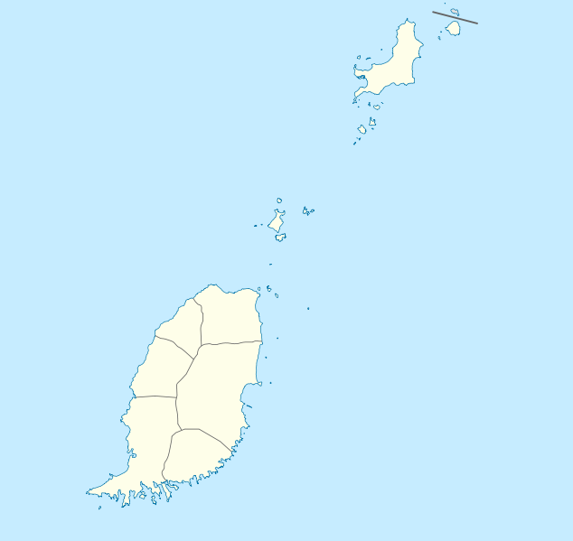
Deutsch: Positionskarte von Grenada
Geographische Begrenzung der Karte:
English: Location map of Grenada
Geographic limits of the map:
|
||||||||||||
| Data | |||||||||||||
| Fonte | Trabayu propiu | ||||||||||||
| Autor | NordNordWest | ||||||||||||
| Permisu (Cómo reutilizar esti ficheru) |
|

|
Este mapa se ha hecho o mejorado en el Kartenwerkstatt (taller cartográfico) alemán. También puede proponer mapas para mejorar.
|
Historial del ficheru
Calca nuna fecha/hora pa ver el ficheru como taba daquella.
| Data/Hora | Miniatura | Dimensiones | Usuariu | Comentariu | |
|---|---|---|---|---|---|
| actual | 19:56 18 avi 2009 | | 1435 × 1356 (134 kB) | NordNordWest | == {{int:filedesc}} == {{Information |Description= {{de|Positionskarte von Grenada}} Geographische Begrenzung der Karte: * N: 12.55° N * S: 11.95° N * W: 61.9° W * O: 61.25° W {{en|Location map of Grenada}} Geographic l |
Usu del ficheru
Les páxines siguientes usen esti ficheru:
Usu global del ficheru
Estes otres wikis usen esti ficheru:
- Usu en af.wikipedia.org
- Usu en an.wikipedia.org
- Usu en ar.wikipedia.org
- Usu en ba.wikipedia.org
- Usu en be-tarask.wikipedia.org
- Usu en be.wikipedia.org
- Usu en bg.wikipedia.org
- Usu en bn.wikipedia.org
- Usu en bs.wikipedia.org
- Usu en ceb.wikipedia.org
- Plantilya:Location map Grenada
- The Sisters
- Sandy Island
- Sandy Islet
- Saint John
- Saint George
- Redonda
- Green Island
- Green Islet
- Goat Point
- Bird Island
- Bird Islet
- North Point
- Victoria
- Saint George’s Bay
- Rose Rock
- Black Rock
- Long Point
- Sugar Loaf
- Hog Island
- Southwest Point
- Sister Rocks
- Gun Point
- Flamingo Bay
- Ross Point
- Bird
- White Island
- Hope Island
- Lewis
- The Spout
- Mount Lebanon
- The Lagoon
- Black Bay
Ver más usos globales d'esti ficheru.