Ficheru:Hampshire UK district map (blank).svg

Tamañu de la vista previa PNG d'esti ficheru SVG: 704 × 599 pixels. Otres resoluciones: 282 × 240 pixels | 564 × 480 pixels | 902 × 768 pixels | 1203 × 1024 pixels | 2406 × 2048 pixels | 1425 × 1213 pixels.
Ficheru orixinal (ficheru SVG, 1425 × 1213 píxels nominales, tamañu de ficheru: 1,23 MB)
.svg)
| Descripción |
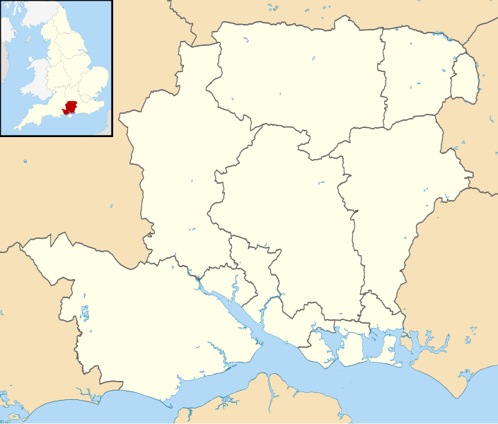
Map of Hampshire, UK with districts shown. Equirectangular map projection on WGS 84 datum, with N/S stretched 155% Geographic limits:
|
| Data | |
| Fonte | Ordnance Survey OpenData. Most data from Boundary-Line product. Lake data from Meridian 2 product. Inset derived from England location map.svg by Spischot. |
| Autor | Nilfanion, created using Ordnance Survey data |
| Permisu (Cómo reutilizar esti ficheru) |
Esti ficheru ta disponible baxo la llicencia Creative Commons Reconocimientu-Compartir igual 3.0 xenérica. Reconocimientu: Contains Ordnance Survey data © Crown copyright and database right
|
Historial del ficheru
Calca nuna fecha/hora pa ver el ficheru como taba daquella.
| Data/Hora | Miniatura | Dimensiones | Usuariu | Comentariu | |
|---|---|---|---|---|---|
| actual | 08:10 22 ago 2010 | | 1425 × 1213 (1,23 MB) | Nilfanion | +inset, water colour tweak |
| 23:37 16 xnt 2010 |  | 1425 × 1213 (898 kB) | Nilfanion | {{Information |Description=Map of Hampshire, UK with districts shown. Equirectangular map projection on WGS 84 datum, with N/S stretched 155% Geographic limits: *West: 2.01W *East: 0.68W *North: 51.41N *South: 50.68N |Source=[[w:Ordnance |
Usu del ficheru
La páxina siguiente usa esti ficheru:
Usu global del ficheru
Estes otres wikis usen esti ficheru:
- Usu en de.wikipedia.org
- Nationalparks im Vereinigten Königreich
- Butser Hill
- Southampton Water
- Fratton Park
- Spithead
- St. Mary’s Stadium
- Quarley Hill
- Blackbushe Airport
- The Dell (Southampton)
- Recreation Ground (Aldershot)
- Vorlage:Positionskarte England Hampshire
- All Saints Church (Little Somborne)
- Southampton International Airport
- Farnborough Airfield
- Southsea Castle
- RAF Odiham
- Middle Wallop Airfield
- Rose Bowl (Southampton)
- Hurst Point Lighthouse
- Kraftwerk Fawley
- Fawley-Raffinerie
- Tweseldown Racecourse
- Aldershot Lido
- Marwell Zoo
- Birdworld
- Usu en en.wikipedia.org
- Usu en es.wikipedia.org
.svg)