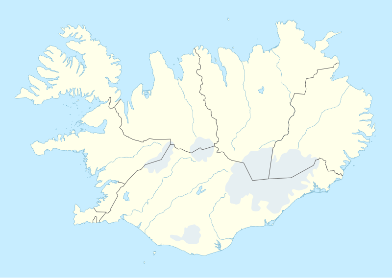
Ficheru:Iceland adm location map.svg

Ficheru orixinal (ficheru SVG, 1186 × 841 píxels nominales, tamañu de ficheru: 145 kB)
Resume
| Descripción |
Deutsch: Positionskarte von Island
English: Location map of Iceland
|
||||||||||||
| Data | |||||||||||||
| Fonte |
Trabajo propio utilizando:
|
||||||||||||
| Autor | NordNordWest | ||||||||||||

|
Este mapa se ha hecho o mejorado en el Kartenwerkstatt (taller cartográfico) alemán. También puede proponer mapas para mejorar.
|
Llicencia
Usage of this file with:

explanatory notes: Legally binding is only the full legalcode. For a free usage I recommend to respect the following licence conditions:
1. Provide my name as given above: NordNordWest,
2. a copy of, or the URI for, the applicable license: https://creativecommons.org/licenses/by-sa/3.0/de/legalcode,
3. the title of the work,
4. in the case of an adaptation, a credit identifying the use of the work in the adaptation.
This license and the rights granted hereunder will terminate automatically upon any breach by you of the terms of this license. Any of the above conditions can be waived if you get permission from the copyright holder. If you have questions or wish differing conditions, please contact me through nnwest or my discussion page ![]() t-online.de
t-online.de
- Ye llibre:
- pa compartir – pa copiar, distribuir y comunicar públicamente la obra
- pa remezclar – p'adautar la obra
- Baxo les condiciones siguientes:
- reconocimientu – Tienes de dar el créitu apropiáu, apurrir un enllaz a la llicencia ya indicar si realizasti dalgún cambéu. Puedes faelo de cualquier mou razonable ,pero non de manera que suxera l'encontu del autor pa ti o pal usu que faigas.
- compartir igual – Si entemeces, tresformes o te bases nesti material, tienes de distribuir les tos contribuciones baxo la mesma llicencia o una compatible cola orixinal.

Historial del ficheru
Calca nuna fecha/hora pa ver el ficheru como taba daquella.
| Data/Hora | Miniatura | Dimensiones | Usuariu | Comentariu | |
|---|---|---|---|---|---|
| actual | 18:25 11 pay 2022 | | 1186 × 841 (145 kB) | NordNordWest | upd |
| 18:46 19 pay 2018 |  | 1186 × 841 (145 kB) | NordNordWest | complete version again | |
| 03:26 19 pay 2018 |  | 1186 × 841 (226 kB) | A Red Cherry | Many border shifts; updated to a newer SVG locator map | |
| 17:24 15 set 2014 |  | 1186 × 841 (145 kB) | NordNordWest | == {{int:filedesc}} == {{Information |Description= {{de|1=Positionskarte von Island}} {{en|1=Location map of Iceland}} {{Location map series N |top=66.8 |bottom=63.1 |left=-25 |right=-13 }} |Source={{Own using}} * United States National Imagery and Map... |
Usu del ficheru
Les páxines siguientes usen esti ficheru:
- Aeropuertu Internacional de Keflavík
- Aeropuertu d'Akureyri
- Aeropuertu d'Egilsstaðdir
- Aeropuertu de Bíldudalur
- Aeropuertu de Reikiavik
- Aeropuertu de Sauðárkrókur
- Akranes
- Akureyri
- Alþingishúsið
- Blönduósbær
- Bæjarhreppur
- Drangajökull
- Dynjandi
- Eldey
- Elliðaey
- Eyjafjallajökull
- Eyjafjöll
- Eyjafjörður
- Eyrarbakki
- Faloteca islandesa
- Faru de Thridrangaviti
- Faxaflói
- Faxi
- Geirfuglasker
- Glymur
- Gullfoss
- Keflavík
- Kverkfjöll
- Laki
- Laugardalsvöllur
- Parque nacional Skaftafell
- Reikiavik
- Seljalandsfoss
- Skógafoss
- Snæfellsnes
- Tindfjallajökull
- Viðey
- Úrvalsdeild Karla
- Þingvellir
- Þrándarjökull
- Módulu:Mapa de llocalización/datos/Islandia
- Módulu:Mapa de llocalización/datos/Islandia/usu
Usu global del ficheru
Estes otres wikis usen esti ficheru:
- Usu en af.wikipedia.org
- Usu en an.wikipedia.org
- Usu en bh.wikipedia.org
- Usu en bn.wikipedia.org
- Usu en ca.wikipedia.org
- Usu en de.wikipedia.org
- Þingvellir
- Hvanneyri
- Hvolsvöllur
- Keflavík
- Skálholt
- Kirkjubæjarklaustur
- Skaftafell-Nationalpark
- Skógar
- Vík í Mýrdal
- Haukadalur
- Kaldidalur
- Reykholt (Borgarbyggð)
- Húsafell
- Jökulsárgljúfur-Nationalpark
- Þórsmörk
- Liste der Nationalparks in Island
- Raufarhöfn
- Eskifjörður
- Ólafsfjörður
- Ísafjörður
- Sauðárkrókur
- Neskaupstaður
- Eishockey-Weltmeisterschaft der Herren 2006
Ver más usos globales d'esti ficheru.