Ficheru:Jharkhand locator map.svg

Tamañu de la vista previa PNG d'esti ficheru SVG: 505 × 599 pixels. Otres resoluciones: 202 × 240 pixels | 404 × 480 pixels | 647 × 768 pixels | 863 × 1024 pixels | 1726 × 2048 pixels | 1614 × 1915 pixels.
Ficheru orixinal (ficheru SVG, 1614 × 1915 píxels nominales, tamañu de ficheru: 231 kB)
| Títulu |
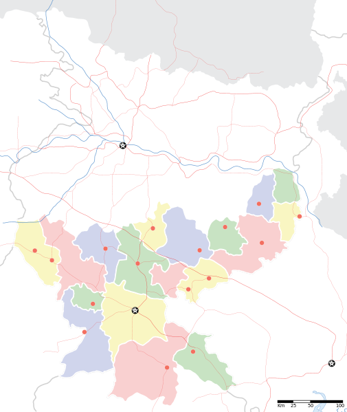
Jharkhand locator map |
||
| Descripción |
Locator map for the Indian state of w:Jharkhand. Equirectangular projection. Geographic limits of the map: top=27.561, bottom=21.92, left=83.25, right=88.52. |
||
| Data | |||
| Fonte |
Trabayu propiu |
||
| Creador |
|
||
| Permisu (Cómo reutilizar esti ficheru) |
Yo, el titular de los drechos d'autor d'esta obra, la espublizo baxo la siguiente llicencia: Esti ficheru ta disponible baxo la llicencia Creative Commons Reconocimientu-Compartir igual 3.0 xenérica.
|
||
| Datos xeotemporales | |||
| Fecha representada | segunda mitad de siglo XX y siglo XXI | ||
| Xeorreferenciador | Si nun ye apropiao, define warp_status = skip pa tapecer. | ||
| Datos d'archivu | |||
| Notes | Part of WikiProject India Maps | ||
Historial del ficheru
Calca nuna fecha/hora pa ver el ficheru como taba daquella.
| Data/Hora | Miniatura | Dimensiones | Usuariu | Comentariu | |
|---|---|---|---|---|---|
| actual | 06:46 7 set 2008 | | 1614 × 1915 (231 kB) | Planemad | |
| 20:18 6 set 2008 |  | 1614 × 1915 (183 kB) | Planemad | {{Information |Description={{en|1=a}} |Source=Own work by uploader |Author=PlaneMad |Date= |Permission= |other_versions= }} <!--{{ImageUpload|full}}--> |
Usu del ficheru
La páxina siguiente usa esti ficheru:
Usu global del ficheru
Estes otres wikis usen esti ficheru:
- Usu en ar.wikipedia.org
- Usu en as.wikipedia.org
- Usu en awa.wikipedia.org
- Usu en ba.wikipedia.org
- Usu en bh.wikipedia.org
- Usu en bn.wikipedia.org
- রাঁচি
- সম্মেদ শিখর
- টেমপ্লেট:অবস্থান মানচিত্র ভারত ঝাড়খণ্ড
- ঘাটশিলা
- রাজমহল
- নেতারহাট
- মুরি
- বোকারো স্টিল সিটি
- জামতাড়া
- সোনারী বিমানবন্দর
- চাইবাসা
- চক্রধরপুর
- সাহেবগঞ্জ
- রাজমহল কয়লা খনি অঞ্চল
- বোকারো বিমানবন্দর
- পাঞ্চেত বাঁধ
- ব্যবহারকারী:খাঁ শুভেন্দু/রাঁচি
- সরাইকেল্লা
- দেওঘর বিমানবন্দর
- গিরিডি
- দুগদা
- মেদিনীনগর
- দুমকা
- রাঁচি জংশন রেলওয়ে স্টেশন
- হাজারিবাগ টাউন রেলওয়ে স্টেশন
- ধলভূমগড়
- ধলভূমগড় ব্লক
- জগন্নাথ মন্দির, রাঁচি
- Usu en bo.wikipedia.org
- Usu en ceb.wikipedia.org
- Usu en de.wikipedia.org
- Usu en fa.wikipedia.org
- Usu en hi.wikipedia.org
Ver más usos globales d'esti ficheru.