Ficheru:Madagascar sat.png
Tamañu d'esta previsualización: 320 × 599 pixels. Otres resoluciones: 256 × 480 pixels | 876 × 1640 pixels.
Ficheru orixinal (876 × 1640 píxels, tamañu de ficheru: 1,45 MB, triba MIME: image/png)
Resume
| Descripción | |
| Data | Fecha desconocida |
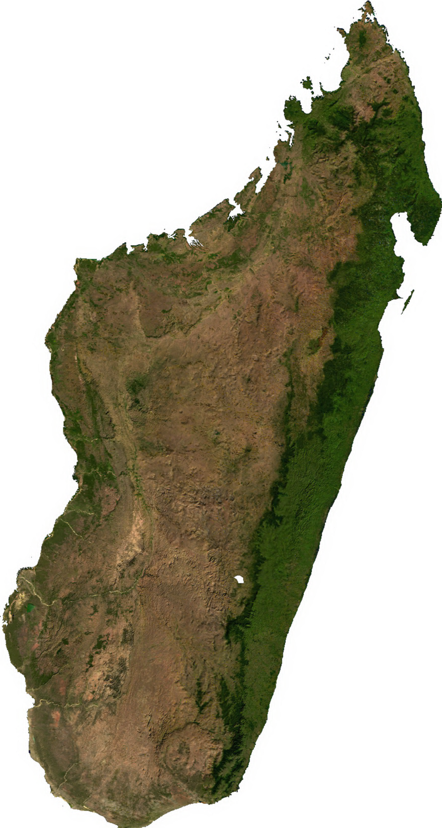
| Fonte | Generated using free sources available at The Map Library |
| Autor |
Llicencia
| This file is in the public domain, because it was generated by a user, using free sources available at The Map Library.
Note that this does not include the maps in the Global Administrative Areas section of the homepage. |
Historial del ficheru
Calca nuna fecha/hora pa ver el ficheru como taba daquella.
| Data/Hora | Miniatura | Dimensiones | Usuariu | Comentariu | |
|---|---|---|---|---|---|
| actual | 02:31 14 xnt 2006 | | 876 × 1640 (1,45 MB) | Unquietwiki | ECW to TIFF to PNG (compression level 9). {{PD-MapLibrary}} |
Usu del ficheru
La páxina siguiente usa esti ficheru:
Usu global del ficheru
Estes otres wikis usen esti ficheru:
- Usu en ar.wikipedia.org
- Usu en bcl.wikipedia.org
- Usu en bg.wikipedia.org
- Usu en bn.wikipedia.org
- Usu en en.wikipedia.org
- Usu en fr.wikipedia.org
- Usu en it.wikipedia.org
- Usu en ka.wikipedia.org
- Usu en lt.wikipedia.org
- Usu en mg.wikipedia.org
- Usu en my.wikipedia.org
- Usu en pnb.wikipedia.org
- Usu en pt.wikipedia.org
- Usu en ro.wikipedia.org
- Usu en sl.wikipedia.org
- Usu en th.wikipedia.org
- Usu en tl.wikipedia.org
- Usu en uk.wikipedia.org
- Usu en ur.wikipedia.org
- Usu en vec.wikipedia.org
- Usu en www.wikidata.org
- Usu en yo.wikipedia.org
- Usu en zh-yue.wikipedia.org
- Usu en zh.wikipedia.org