Ficheru:Map of the Territorial Waters in the Caribbean.png

Tamañu d'esta previsualización: 800 × 522 pixels. Otres resoluciones: 320 × 209 pixels | 640 × 418 pixels | 1024 × 668 pixels | 1280 × 835 pixels | 1713 × 1118 pixels.
Ficheru orixinal (1713 × 1118 píxels, tamañu de ficheru: 340 kB, triba MIME: image/png)

|
Esta imagen debería volverse a crear como imágenes vectoriales SVG. Esto proporciona muchas ventajas, véase Commons:Media for cleanup (en inglés) para más información. Si ya hay una versión SVG de esta imagen disponible, por favor súbala a Commons. Tras subirla, reemplace esta plantilla con la plantilla
{{vector version available|nuevo nombre de imagen.svg}} en esta imagen. |
Resume
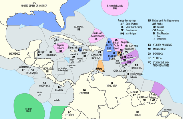
| Descripción |
Deutsch: Ausschließliche Wirtschaftszonen (EEZ) in der Karibik
English: Territorial waters (EEZ) in the Caribbean |
| Data | see file history |
| Fonte | Trabajo propio utilizando: this map by B1mbo |
| Autor | Maximilian Dörrbecker (Chumwa) |
| Permisu (Cómo reutilizar esti ficheru) |
Yo, el titular de los drechos d'autor d'esta obra, la espublizo baxo la siguiente llicencia: Este archivo se encuentra bajo la licencia Creative Commons Genérica de Atribución/Compartir-Igual 2.5.
Sie dürfen das Bild zu den folgenden Bedingungen nutzen:
|
| Otres versiones |
|


Historial del ficheru
Calca nuna fecha/hora pa ver el ficheru como taba daquella.
| Data/Hora | Miniatura | Dimensiones | Usuariu | Comentariu | |
|---|---|---|---|---|---|
| actual | 08:10 1 set 2018 | | 1713 × 1118 (340 kB) | Chumwa | == {{int:filedesc}} == {{Information |Description= {{de|1=Ausschließliche Wirtschaftszonen (EEZ) in der Karibik}} {{en|1=Territorial waters (EEZ) in the Caribbean}} |Source = {{own using}} this map by {{U|B1mbo}} |Date = see file history |Author = Maximilian Dörrbecker (Chumwa) |Permission={{self|cc-by-sa-2.5}} Sie dürfen das Bild zu den folgenden Bedingungen nutzen: * Sie müssen den Namen des Autors nennen. *... |
Usu del ficheru
La páxina siguiente usa esti ficheru:
Usu global del ficheru
Estes otres wikis usen esti ficheru:
- Usu en af.wikipedia.org
- Usu en en.wikipedia.org
- Usu en es.wikipedia.org
- Usu en ja.wikipedia.org