Ficheru:Niue location map.svg

Tamañu de la vista previa PNG d'esti ficheru SVG: 535 × 599 pixels. Otres resoluciones: 214 × 240 pixels | 428 × 480 pixels | 685 × 768 pixels | 914 × 1024 pixels | 1828 × 2048 pixels | 690 × 773 pixels.
Ficheru orixinal (ficheru SVG, 690 × 773 píxels nominales, tamañu de ficheru: 71 kB)
Resume
| Descripción |
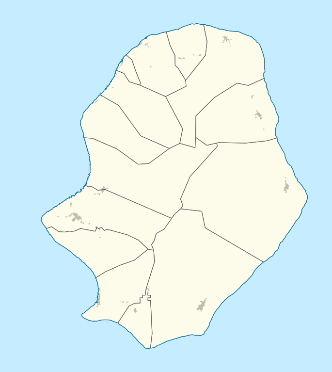
Deutsch: Positionskarte von Niue. Geographische Begrenzungen der Karte:
English: Location map of Niue. Geographic limits of the map:
|
| Data | |
| Fonte |
Trabayu propiu, using
|
| Autor |
Graphic made by Carport |
Llicencia
Este archivo se encuentra bajo la licencia Creative Commons Genérica de Atribución/Compartir-Igual 2.0.
- Ye llibre:
- pa compartir – pa copiar, distribuir y comunicar públicamente la obra
- pa remezclar – p'adautar la obra
- Baxo les condiciones siguientes:
- reconocimientu – Tienes de dar el créitu apropiáu, apurrir un enllaz a la llicencia ya indicar si realizasti dalgún cambéu. Puedes faelo de cualquier mou razonable ,pero non de manera que suxera l'encontu del autor pa ti o pal usu que faigas.
- compartir igual – Si entemeces, tresformes o te bases nesti material, tienes de distribuir les tos contribuciones baxo la mesma llicencia o una compatible cola orixinal.
Historial del ficheru
Calca nuna fecha/hora pa ver el ficheru como taba daquella.
| Data/Hora | Miniatura | Dimensiones | Usuariu | Comentariu | |
|---|---|---|---|---|---|
| actual | 07:52 15 och 2020 | | 690 × 773 (71 kB) | TUBS | Splitted in Alfofi Nort and South + populated areas |
| 12:24 2 xnt 2010 |  | 863 × 966 (41 kB) | Carport | border fixes | |
| 20:27 23 pay 2009 |  | 863 × 966 (41 kB) | Carport | {{Information |Description={{de|1=Positionskarte von {{w|Niue|3=de}}. Geographische Begrenzungen der Karte: * N: 18.938° S * S: 19.168° S * W: 169.975° W * E: 169.758° W}} {{en|1=Location map of {{w|Niue}}. Geographic limits of the map: * N: 18.938� |
Usu del ficheru
Les páxines siguientes usen esti ficheru:
Usu global del ficheru
Estes otres wikis usen esti ficheru:
- Usu en af.wikipedia.org
- Usu en an.wikipedia.org
- Usu en az.wikipedia.org
- Usu en ba.wikipedia.org
- Usu en be.wikipedia.org
- Usu en bg.wikipedia.org
- Usu en bn.wikipedia.org
- Usu en ceb.wikipedia.org
- Plantilya:Location map Niue
- Savage Island
- Blow Hole Point
- Tipa
- Tomb Point
- Niue (pagklaro)
- Matapa Chasm
- Alofi
- Tuapa
- Tomb Point (punta sa Niwe)
- Tipa (punta)
- Gumagamit:Lsjbot/Duplicates/Niue
- Matapa Chasm (lugut)
- Hakupu
- Avatele Bay
- Avatele
- Alofi Bay
- Alofi (ulohang dakbayan)
- Alofi / Niue
- Matapa Chasm (walog)
- Tautu Beach
- Avatele Beach
- Hio Beach
- Huvalu Forest Conservation Area
- Usu en cs.wikipedia.org
- Usu en da.wikipedia.org
- Usu en de.wikipedia.org
Ver más usos globales d'esti ficheru.