Ficheru:Outer Hebrides UK blank map.svg

Tamañu de la vista previa PNG d'esti ficheru SVG: 456 × 600 pixels. Otres resoluciones: 182 × 240 pixels | 365 × 480 pixels | 584 × 768 pixels | 779 × 1024 pixels | 1557 × 2048 pixels | 1083 × 1424 pixels.
Ficheru orixinal (ficheru SVG, 1083 × 1424 píxels nominales, tamañu de ficheru: 3,01 MB)
| Descripción |
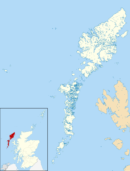
Blank map of the Outer Hebrides (excluding Sula Sgeir), UK with districts shown. Equirectangular map projection on WGS 84 datum, with N/S stretched 180% Geographic limits:
|
| Data | |
| Fonte | Ordnance Survey OpenData. Most data from Boundary-Line product. Lake data from Meridian 2 product. Inset derived from File:Scotland location map.svg by NordNordWest. |
| Autor | Nilfanion, created using Ordnance Survey data |
| Permisu (Cómo reutilizar esti ficheru) |
Esti ficheru ta disponible baxo la llicencia Creative Commons Reconocimientu-Compartir igual 3.0 xenérica. Reconocimientu: Contains Ordnance Survey data © Crown copyright and database right
|
Historial del ficheru
Calca nuna fecha/hora pa ver el ficheru como taba daquella.
| Data/Hora | Miniatura | Dimensiones | Usuariu | Comentariu | |
|---|---|---|---|---|---|
| actual | 08:52 22 ago 2010 | | 1083 × 1424 (3,01 MB) | Nilfanion | {{Information |Description=Blank map of the Outer Hebrides (excluding Sula Sgeir), UK with districts shown. Equirectangular map projection on WGS 84 datum, with N/S stretched 180% Geographic limits: *West: 8.65W *Ea |
Usu del ficheru
Nun hai páxines qu'usen esti ficheru.
Usu global del ficheru
Estes otres wikis usen esti ficheru:
- Usu en os.wikipedia.org