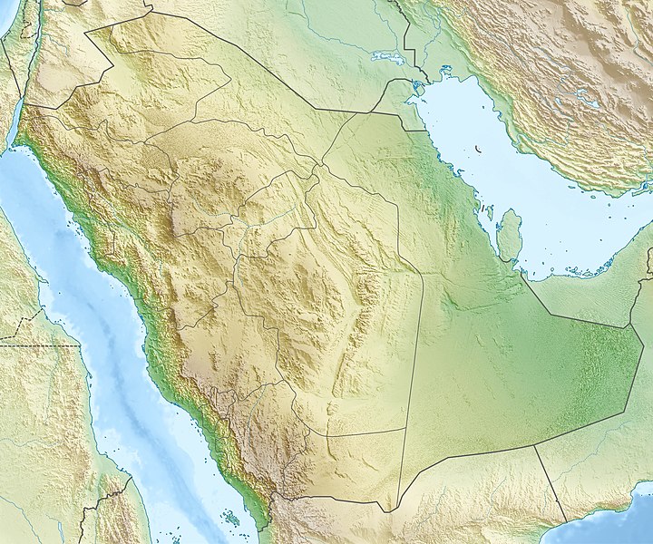
Ficheru:Saudi Arabia relief location map.jpg

Tamañu d'esta previsualización: 720 × 600 pixels. Otres resoluciones: 288 × 240 pixels | 577 × 480 pixels | 922 × 768 pixels | 1230 × 1024 pixels | 2003 × 1668 pixels.
Ficheru orixinal (2003 × 1668 píxels, tamañu de ficheru: 1,67 MB, triba MIME: image/jpeg)
Historial del ficheru
Calca nuna fecha/hora pa ver el ficheru como taba daquella.
| Data/Hora | Miniatura | Dimensiones | Usuariu | Comentariu | |
|---|---|---|---|---|---|
| actual | 17:28 16 may 2010 |  | 2003 × 1668 (1,67 MB) | Carport | {{Information |Description={{de|Physische Positionskarte von {{w|Saudi-Arabien|3=de}}}} Quadratische Plattkarte, N-S-Streckung 110 %. Geographische Begrenzung der Karte: * N: 32.5° N * S: 16.0° N * W: 34.2° O * O: 56.0° O {{en|Physical location map of |
Usu del ficheru
Les páxines siguientes usen esti ficheru:
Usu global del ficheru
Estes otres wikis usen esti ficheru:
- Usu en ace.wikipedia.org
- Usu en als.wikipedia.org
- Usu en ar.wikipedia.org
- حقل الغوار
- جرول
- معمل غاز حرض
- متنزه الأحساء الوطني
- سد وادي جازان
- سد وادي بيش
- الحرب العثمانية السعودية
- مستخدم:عبد المؤمن/مسودات/خرائط/السعودية
- محطة الشعيبة لتحلية المياه المالحة وتوليد الطاقة الكهربائية
- محطة رأس الخير لتحلية المياه وإنتاج الطاقة
- منفذ جديدة عرعر (السعودية)
- متنزه الغاط الوطني (السعودية)
- عين حنين
- كأس خادم الحرمين الشريفين 2023–24
- Usu en av.wikipedia.org
- Usu en azb.wikipedia.org
- Usu en az.wikipedia.org
- Qırmızı dəniz
- Ərəbistan yarımadası
- İran körfəzi
- Mina dağı
- Ərəfat dağı
- Şablon:Yarımada
- Şablon:Yer xəritəsi Səudiyyə Ərəbistanı
- Əl-Ərəbiyə
- Ərəb səhrası
- Rub əl-Xali
- Hira
- Şablon:Yarımada/doc
- Dəhnə (səhra)
- Böyük Nefud
- Əl-Əhsa
- Cafura
- Tihamə
- Sanafir adası
- Tiran adası
- Karan adası
- Farasan arxipelaqı
- Ayneyn təpəsi
- Usu en ba.wikipedia.org
Ver más usos globales d'esti ficheru.


