Ficheru:Wales Bridgend locator map.svg

Tamañu de la vista previa PNG d'esti ficheru SVG: 502 × 600 pixels. Otres resoluciones: 201 × 240 pixels | 402 × 480 pixels | 643 × 768 pixels | 857 × 1024 pixels | 1714 × 2048 pixels | 1047 × 1251 pixels.
Ficheru orixinal (ficheru SVG, 1047 × 1251 píxels nominales, tamañu de ficheru: 146 kB)
Resume
| Descripción |
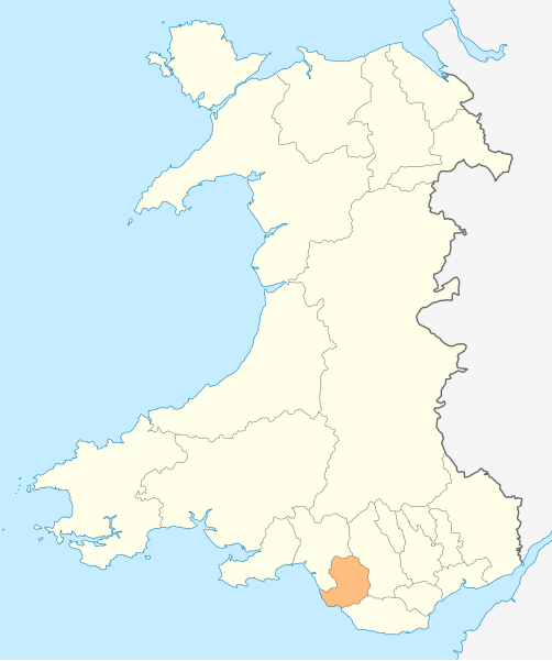
Deutsch: Lagekarte von Bridgend in Wales
English: Locator map of Bridgend in Wales |
| Data | |
| Fonte | Trabayu propiu |
| Autor | NordNordWest |
| Permisu (Cómo reutilizar esti ficheru) |
Yo, el titular de los drechos d'autor d'esta obra, la espublizo baxo la siguiente llicencia: Esti ficheru ta disponible baxo la llicencia Creative Commons Reconocimientu-Compartir igual 3.0 xenérica.
|

|
Este mapa se ha hecho o mejorado en el Kartenwerkstatt (taller cartográfico) alemán. También puede proponer mapas para mejorar.
|
Historial del ficheru
Calca nuna fecha/hora pa ver el ficheru como taba daquella.
| Data/Hora | Miniatura | Dimensiones | Usuariu | Comentariu | |
|---|---|---|---|---|---|
| actual | 18:47 4 may 2010 | | 1047 × 1251 (146 kB) | NordNordWest | {{int:filedesc}} {{Information |Description= {{de|Lagekarte von Bridgend in Wales}} {{en|Locator map of Bridgend in Wales}} |Source={{Own}} |Date=2010-05-04 |Author={{U|NordNordWest}} |Permission={{self|cc-by-sa-3.0}} |other_versions= }} {{Kartenwerkstat |
Usu del ficheru
Nun hai páxines qu'usen esti ficheru.
Usu global del ficheru
Estes otres wikis usen esti ficheru:
- Usu en en.wikipedia.org
- Ewenny Priory
- Bridgend
- Porthcawl
- Maesteg
- Bridgend County Borough
- Pencoed
- Kenfig
- Ogwr
- Ogmore Castle
- Llangynwyd
- Tondu
- Merthyr Mawr
- Brackla
- Candleston Castle
- Nottage
- List of places in Bridgend County Borough
- Heol-y-Cyw
- Pyle
- Aberkenfig
- Coity Castle
- Pontycymer
- Blaengarw
- Coychurch
- Bridgend Industrial Estate
- Template:Bridgend-geo-stub
- Newton, Porthcawl
- Cefn Glas
- Tir Iarll
- Bridgend County Borough Council
- Sarn, Bridgend
- Ogmore Vale
- Bettws, Bridgend
- Bryncethin
- Pen-y-fai, Bridgend
- Ewenny River
- Llampha
- Cornelly
- Nant-y-moel
- Cwmfelin
- North Cornelly
- Caerau, Bridgend
- Llangeinor
- Brynmenyn
- Template:Bridgend
- Kenfig Castle
- South Cornelly
- Cefn Cribwr
- Garw Valley
- Newcastle Castle, Bridgend
- Blackmill
Ver más usos globales d'esti ficheru.